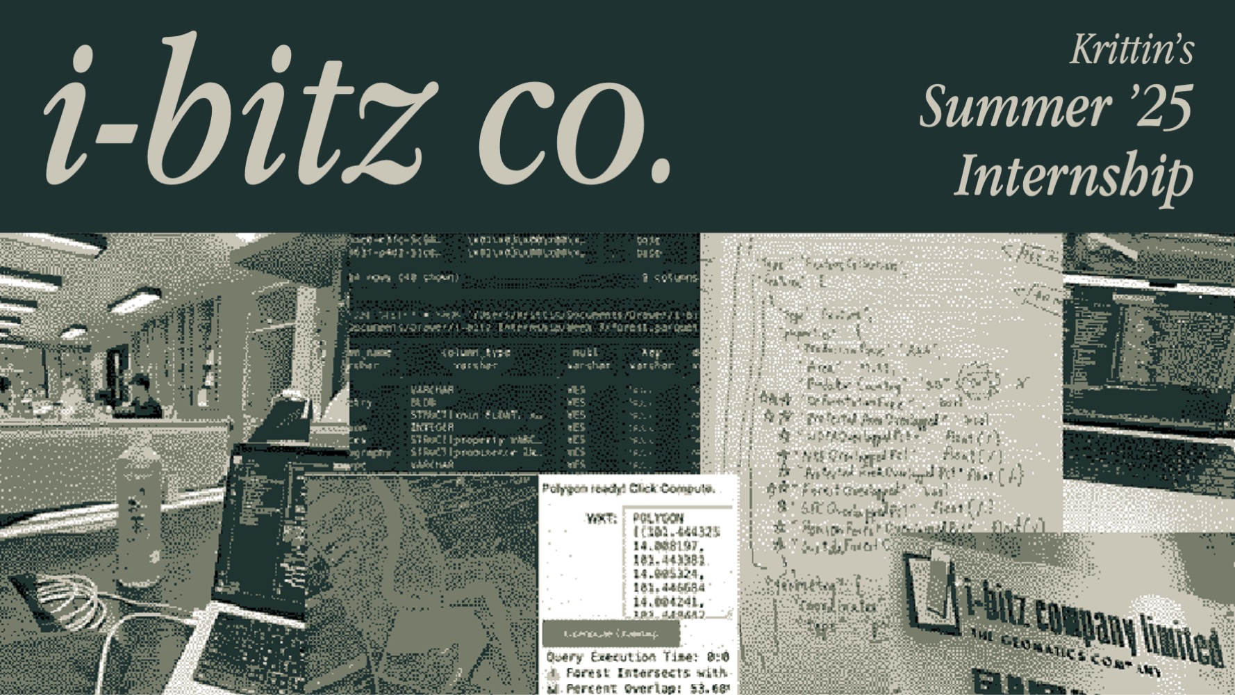
Geospatial data integration for forest-risk analysis.
Geospatial data integration for forest-risk analysis.
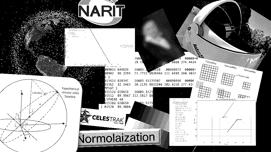
Optical satellite identification and tracking from astronomical images using feature extraction and machine learning program
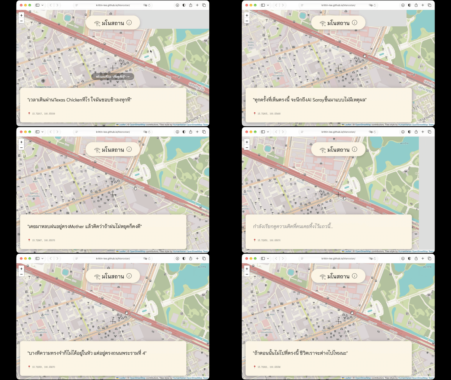
(Manostan) an interactive sonder experience

A gimmicky web game
An NLP project that builds transformer-based models to identify jokes and controversial humor in thai text.
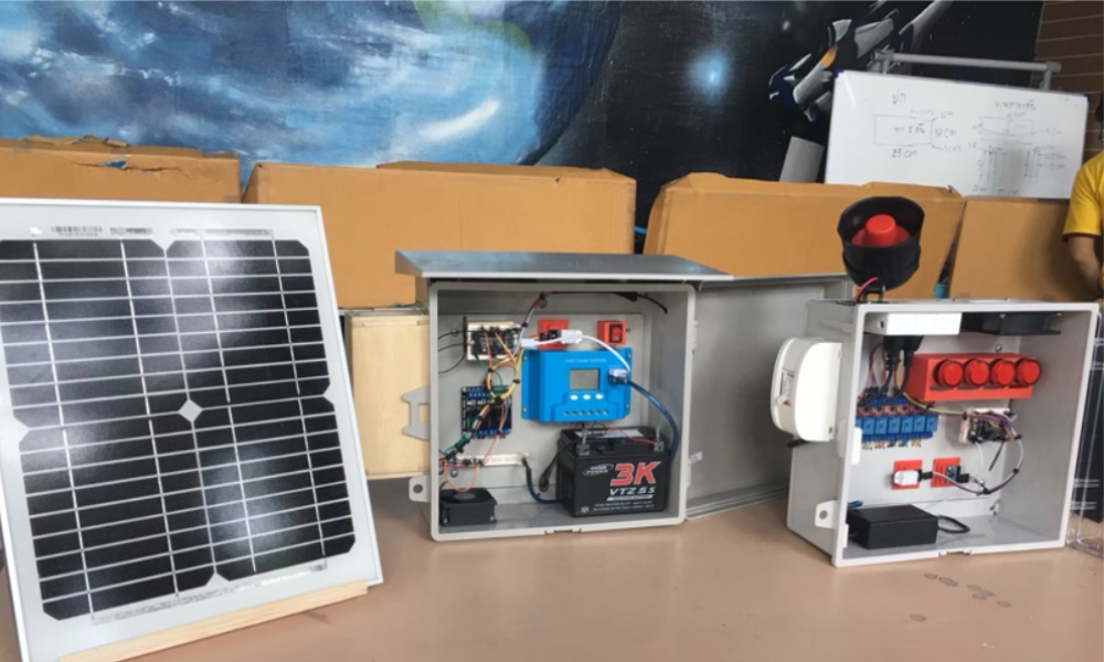
IoT-based natural disaster early warning system, inspired by natural mechanisms